The best thing about Mauritius is its incredible nature. There are plenty of walking and hiking places in Mauritius to explore, from leisurely walks to difficult climbs. Bask in nature, challenge yourself and get rewarded with spectacular views. We’ve compiled the most epic walking and hiking trails with scenic viewpoints you should not miss in Mauritius. For more trails, check also our article about the best waterfalls in Mauritius. Also, don’t miss our Frolic Meet & Trek events : we are organizing regular meetups to explore some of those walking and hiking treks together!
Best walking and hiking places in Mauritius
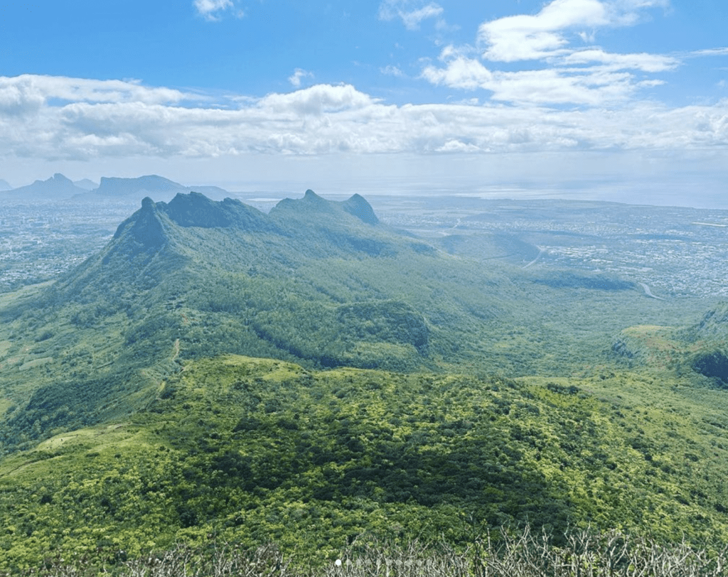
1. Le Pouce (Center)
- Difficulty level: moderate
- Time required: 3 to 4h out and back
- Elevation gain: 355 meters / 1165 ft
- Height of the peak: 812 meters
- Highlights : third-highest mountain of Mauritius, 360-degree panoramic view of the whole island at the top
- Starting point : there are two possible routes. The most popular route is from Moka, you’ll just have to follow the signs to find the start of the trail. There is another route from Port Louis through Le Dauget which is longer but less crowded. Keep an eye on colorful stones to find your way to the top.
2. Pieter Both (Center)
- Difficulty level: difficult (you can stop at the shoulder or you can climb to the top of it but you’ll need proper climbing gear. The path is quite dangerous, don’t go if you suffer from vertigo and if you’re not used to climbing)
- Time required: 2 to 3h out and back
- Elevation gain: 380 meters / 1247 ft
- Height of the peak: 820 meters
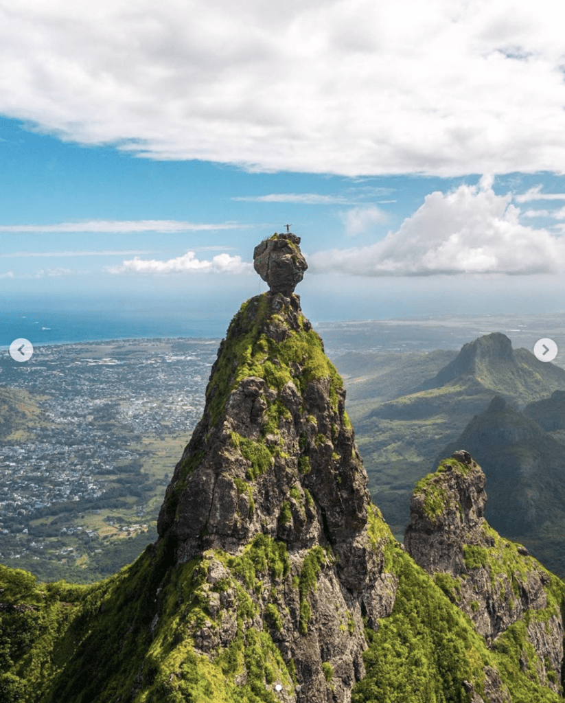
- Highlights : second-highest mountain of Mauritius, it’s practically an emblem of the island with its notable gigantic rock formation at the very top of it which resembles a human head. It belongs to a range of mountains called Moka Mountain Range.
- Starting point : La Laura village, Moka

3. Le Morne Brabant (South-West)
- Difficulty level: difficult (the first half of the hike takes place on a even surface and allows you to get great views already, the second part is sporty, narrow and steep, and the third part is difficult and vertigineous)
- Time required: 3 to 4h out and back
- Elevation gain: 532 meters / 1747 ft
- Height of the peak: 556 meters
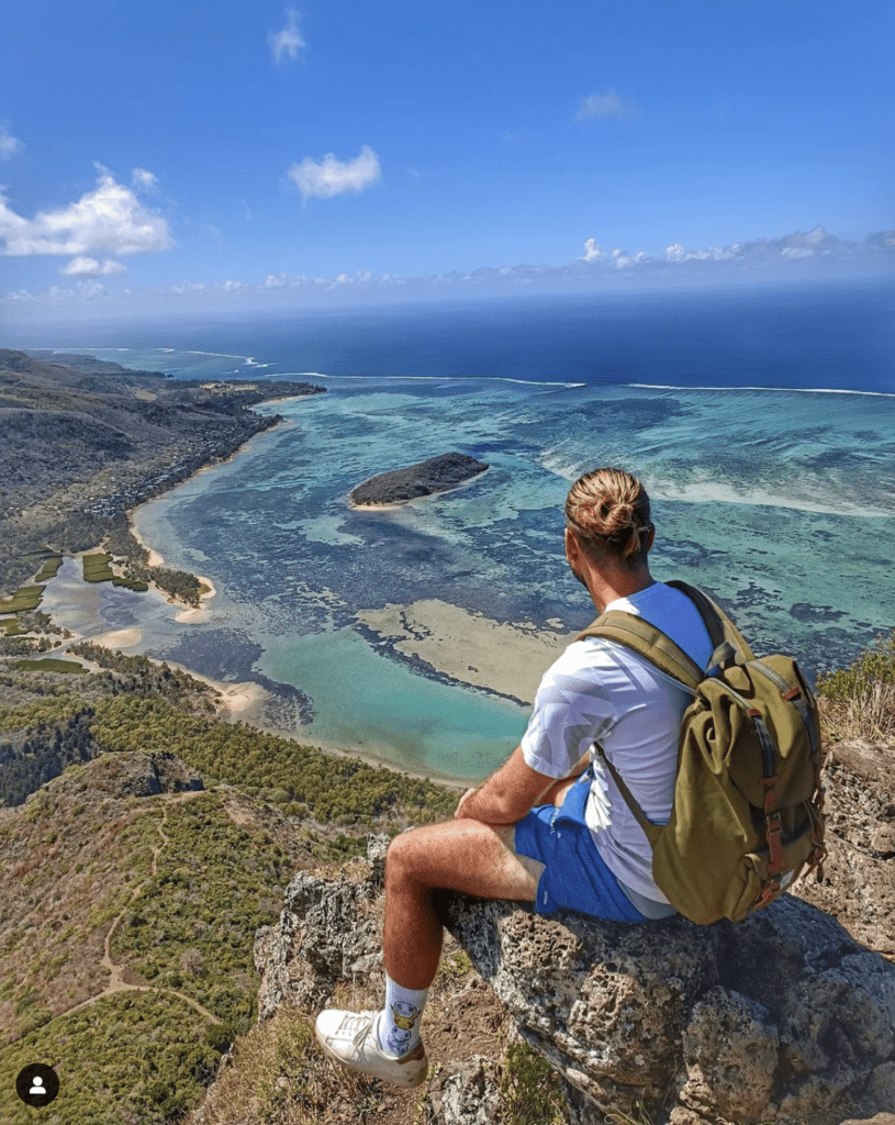
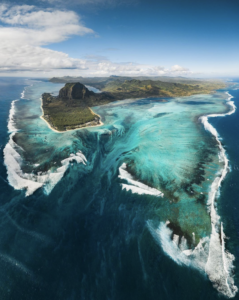
- Highlights : inscribed on the World Heritage List, Le Morne Brabant is a peninsula and is surrounded by turquoise lagoons, offering some of the most incredible views from the top. The peninsula was notorious in the early 19th century as a refuge for runaway slaves. After the abolition of slavery in Mauritius, on 1 February 1835 a police expedition traveled there to inform the slaves that they had been freed. However, the purpose of the expedition was misunderstood and the slaves leapt to their deaths from the rock. Since then the date is celebrated by Mauritian creoles as the Annual Commemoration of the Abolition of Slavery. A cross on the top symbolizes the sacrifice made by the slaves. From the top you get a glimpse at the famous Underwater Waterfall, an optical illusion in the lagoon created by the sand.
- Starting point: to find the starting point, search for Le Morne Trail Entrance on Google Maps. There is a 1,5km drive on a sandy track before you reach the start of the trek, so make sure your car is appropriate for this kind of road.

4. Mount Jacob (Center)
- Difficulty level: moderate (there is a long walk which is part of the Moka trail and which is not difficult before the climb)
- Time required: 2 to 3h out and back
- Elevation gain: 360 meters / 1,181 ft
- Height of the peak: 360 meters
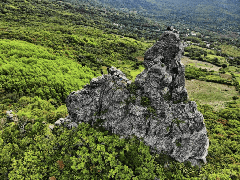
- Highlights : it belongs to the same mountain range as Pieter Both, the Moka Mountain Range. You get a beautiful view over Pieter Both and oer the two valleys, Crève Coeur and Vallée des Prêtres.
- Starting point : La Laura village, Moka

5. Plateau Resmousse, Black River Gorges National Park (West)
- Difficulty level: easy to moderate
- Time required: 2h30 out and back
- Elevation gain: 398 meters / 1305 ft
- Highlights : 360° panoramic view on Black River Georges National Park. The park protects most of the island’s remaining rainforest, endemic birds and plants. On the way to the Plateau Resmousse, there are picnic areas near a beautiful place called La Grotte.
- Starting point : Black River Georges National Park Entrance. The trail is very well indicated.
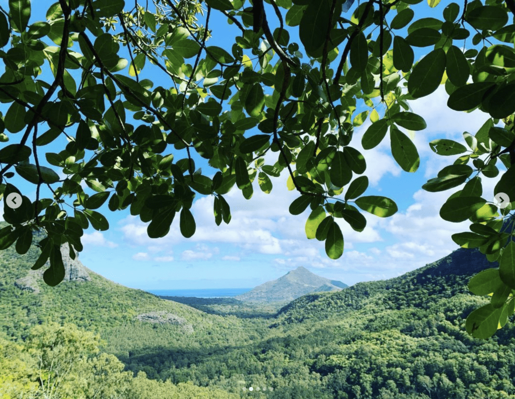

6. Macchabée Viewpoint, Black River Gorges National Park (West)
- Difficulty level: easy to moderate. Just be aware you’ll have to cross a river by stepping on rocks.
- Time required: 2h15 to 5h depending on the trail you choose (see Starting point)
- Elevation gain: 214 meters / 702 ft
- Highlights : to reach the viewpoint, you’ll cross scenic views and several waterfalls. You might also see monkeys. The park protects most of the island’s remaining rainforest, endemic birds and plants.
- Starting point : There are two starting points, both well indicated. You can start from Petrin Visitor’s Center. That is the shortest and easiest trail, 2h15 out and back. You can also start from Black River Georges Park Entrance for a 4h30 to 5h trail out and back. The park opens at 6am and closes at 6pm. In both options, there are 3 variants of the same route: Machabee Trail, Colophanes Trail or Pilgrim Trail. You can also do a complete loop from Petrin visitor’s center to Black River Georges Park Entrance.
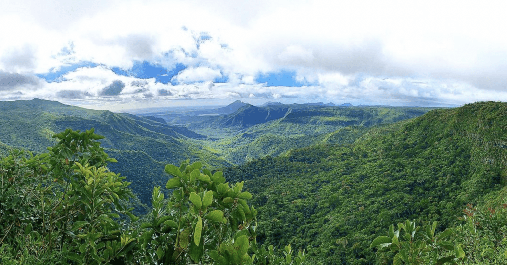

7. Trois Mamelles Center Peak (West)
- Difficulty level: difficult. Anyone can reach the pass but going to the top is difficult because it is steep and the void is omnipresent,. Also, it will require the use of your hands and there is only shade on 1/3 of the hike.
- Time required: 2h30 out and back
- Elevation gain: 388 meters / 1274 ft
- Height of the center peak: 629 meters
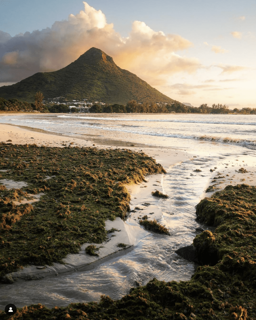
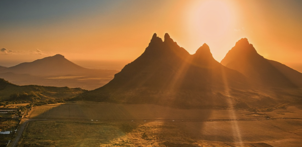
- Highlights : Trois Mamelles is another iconic mountain from Mauritius with its recognizable 3 peaks (“Trois Mamelles” means “3 udders”). The most common peak to climb is the Center peak. It offers panoramic views of the southwest.
- Starting point: Trailhead in surgarcane fields near the Jawaharlall Nehru Avenue. Can be challenging to find as it’s just a passage through some grass and shrubs lining the side of the sugar cane road. After that the path is relatively clear and easy to follow.
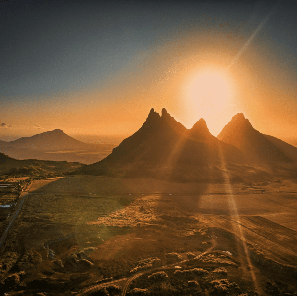

8. La Tourelle (West)
- Difficulty level: difficult. There are two tracks, one in the forest which is indicated with stones put by other trekkers and is easier, and another one which is the more official one but has 4-5 steep rope sections and is exposed to the sun.
- Time required: 2 to 3h out and back, if you are in good physical condition
- Elevation gain: 426 meters / 1397 ft
- Height of the peak: 552 meters
- Highlights : It’s one of the most rewarding mountains, offering the best view of the whole western region of Mauritius on a plateau on the top.
- Starting point: Black Rock Reservoir water tank in Tamarin. Finding the starting point isn’t easy. There is a warning about not being allowed to enter, and you’ll have to go down the fence. There are 2 possible starting points: one if you follow the sign, just before the Reservoir water tank on the left, then down through a dry river to meet the actual start of the trail that is marked with a sign. There are two roads (X & Z), pick the road Z which is the longest but clearest path. There is another way to start the trek: you’ll have to climb the stairs and the wall, and go down the fence, then follow the stones left by other trekkers.
- Authorization: The trail is accessible only through a private land. That means you have to ask prior authorisation before attempting the hike. You must send an email to loic@terresbrunes.mu. They give authorization to everyone, except groups which are too large or days where they decide to close the trail. It is advised to request at least the day before.
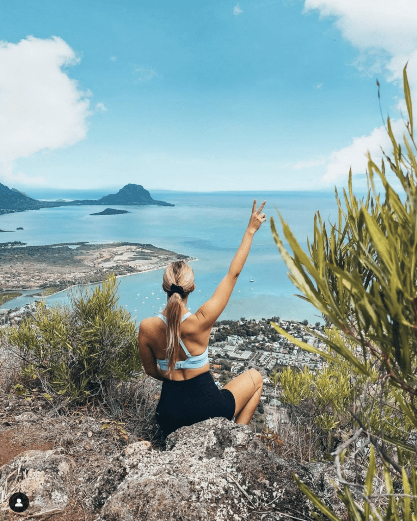

9. South Coast Trail (South)
- Difficulty level: technically not difficult but it is long and there are many sections without shade. However, you can also make it shorter You can also do shorter walks.
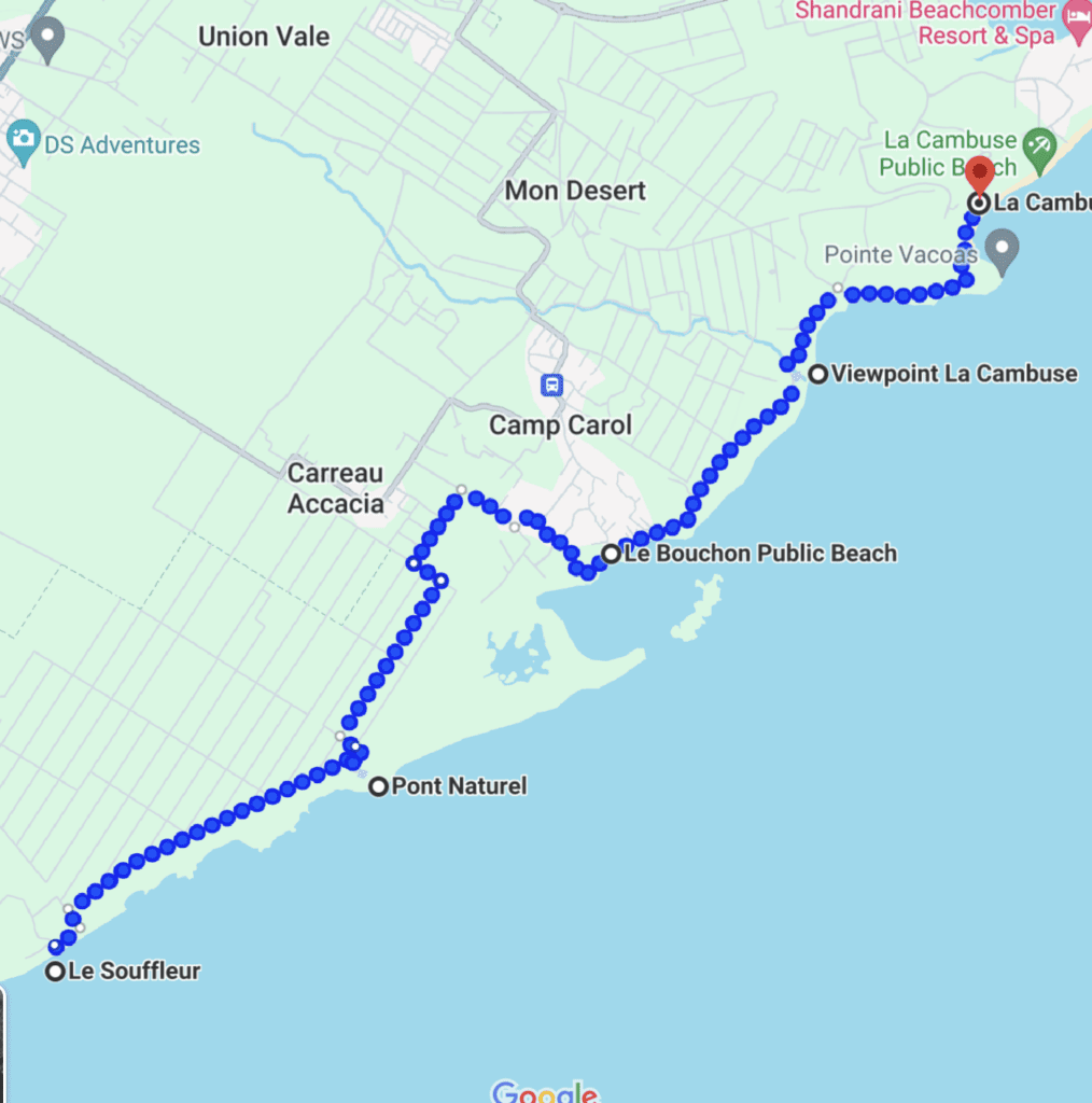
- Time required: 5h out and back if you’re in good physical conditions and don’t stop along the way – so it’s a quite long trek! With Frolic, we’ve done it at a very peaceful pace with many stops and a 1h/2h stop to eat at La Cambuse, and it took us the whole day. For those who wish to do less, you can do Le Bouchon to Pont Naturel and back, or La Cambuse to Pont Naturel and back.
- Elevation gain: 23 meters / 77 ft
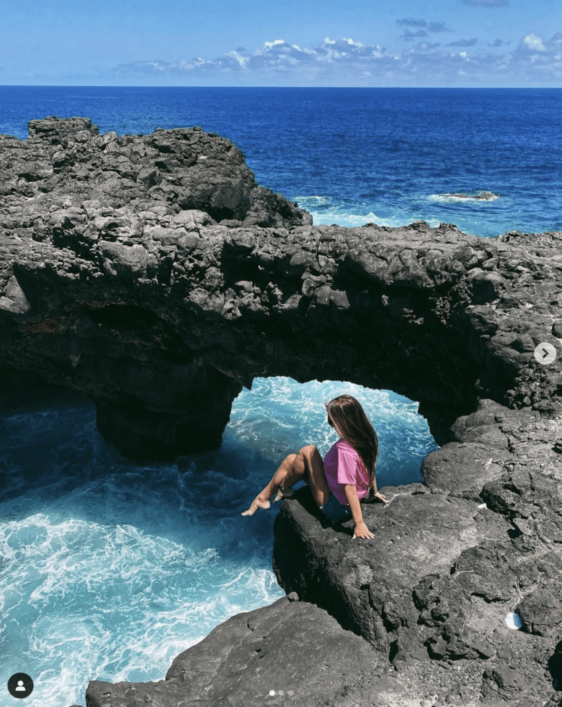
- Highlights : Breathtaking views all along the trail which is meandering along rugged cliffs of the south coast. It feels like a different place alltogether, such as Ireland or Australia. You can also walk a little further to the “Dodo cemetery” where 4000 year old dodo bones were excavated which have been preserved quite well in the soil. You’ll pass by Virginia Garden, le Pont Naturel (a beautiful geological formation located along the wild coast of black lava jagged by the sea), Ilôt Brocus, Le Bouchon Public Beach and Forêt des Palmiers Géants.
- Starting point: Le Souffleur, Le Bouchon (for shorter) or La Cambuse Public Beach. It is quite well marked with green and white arrows on rocks and trees. The trail stays near the coast except for a diversion around a private estate at Ile Brocus that will take you through the sugar cane.


10. Watook Trail / Bel Ombre Trail, Black River Gorges National Park (South)
- Difficulty level: moderate (well maintained road but quite long trail)
- Time required: 4h to 5h trail, 9h to 10h out and back
- Elevation gain: 238 meters / 781 ft
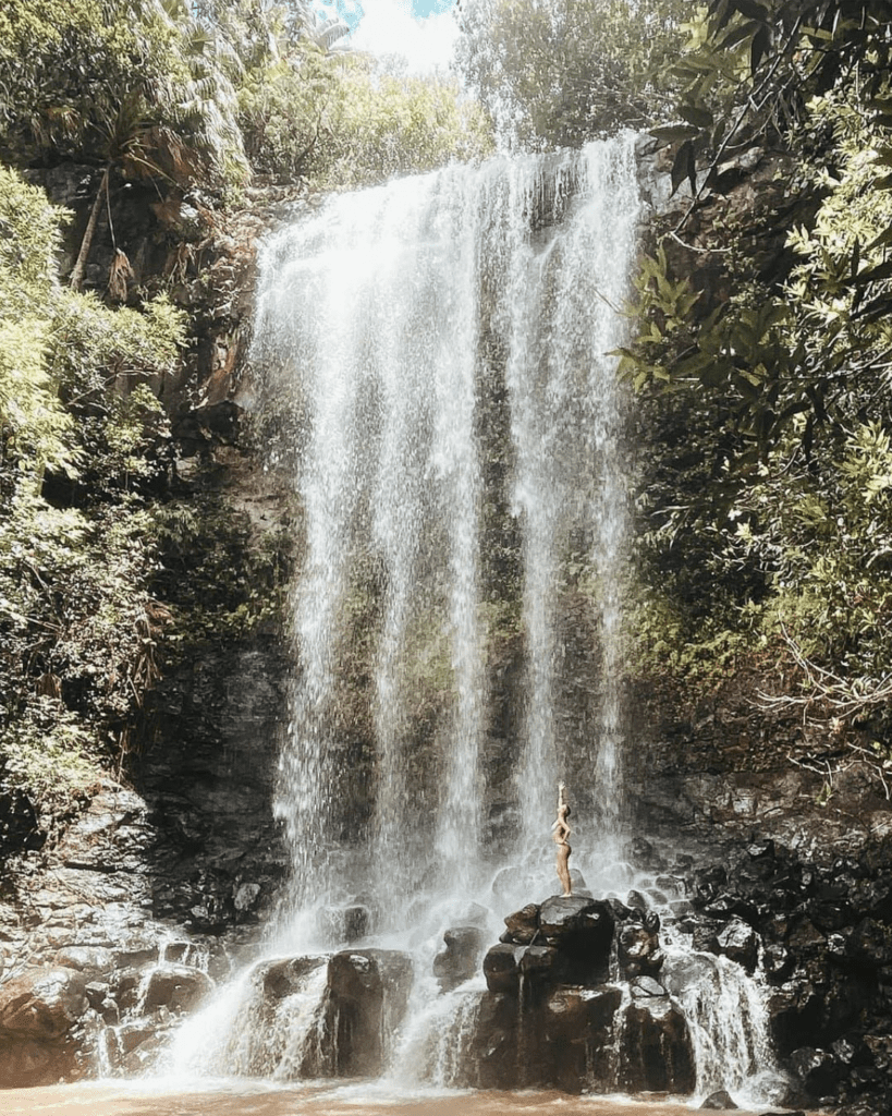
- Highlights : the trail will take you through some of the most pristine forest on the island with wildlife viewing opportunities, especially in the middle/lower portion, a waterfall along the way (Fixon Waterfall) and views of the south coast.
- Starting point: the easiest is is to start from Plaine Champagne (easy navigation)

11. Piton de la Petite Rivière Noire, Black River Gorges National Park (South)
- Difficulty level: moderate (the final ascent requires the assistance of a rope, but rest assured the rope is already in place). Ideal for hikers who want to escape the sun, as for almost the entire hike you enjoy shaded areas. However, this presents a major inconvenience in case of rain. As the route consists of a series of small ascents and descents, sort of basins form and the water does not drain, creating a real mud bath. So avoid doing it in case of rain the night before or on the day.
- Time required: 3 to 4h out and back.
- Elevation gain: 336m / 1104 ft
- Height of the peak: 828m
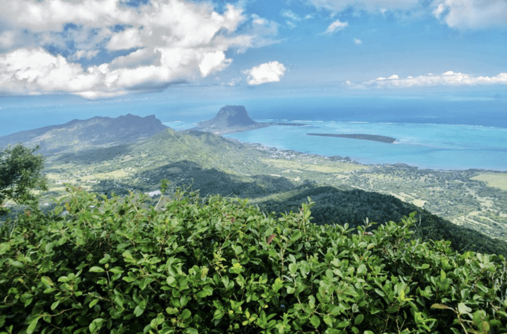
- Highlights : this is the tallest mountain in Mauritius, so you’ll be rewarded with exceptional 360 degree views of the whole island. You will have the opportunity at certain points to observe the Rivière Noire waterfalls, you will also have a first viewpoint halfway, and of course a magnificent view of the Rivière Noire Bay, Le Morne and its lagoon once the ascent is completed.
- Starting point: Located just after the very touristy viewpoint of the Rivière Noire waterfalls, on the road to Plaine Champagne towards Chamarel. Along the B103 Plaine Champagne Road. The trail is clearly marked by painted rocks. About 100 meters from the trailhead is a small parking area that fit about 3/4 cars. The alternative is to leave your car at the Gorges viewpoint parking lot.

11. Piton du Canot, Black River Gorges National Park (South-West)
- Difficulty level: easy to moderate (it’s short, which makes it easy, but the last part is quite steep and can be hard when you come down)
- Time required: 1h30 to 2h30
- Elevation gain: 196 / 643 ft
- Height of the peak: 540m
- Highlights : almost constant view of the sea along the way, and a beautiful view on Le Morne and its lagoon at the top.
- Starting point: It starts near the parking of the restaurant “Le Chamarel” on the road to Chamarel from Black River. You can also reach the summit from the other side, starting from the Ebony Forest site but that requires to pay an entry fee to the park. In the Ebony Forest site, you’ll have access to a viewpoint of the iconic Chamarel waterfall.
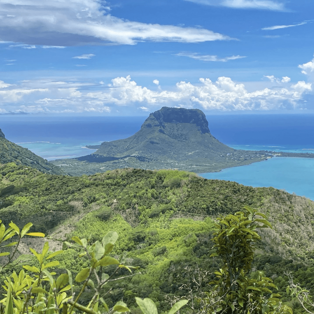

12. Lion Mountain (East)
- Difficulty level: difficult (with some parts of the trail being slippery and muddy and for a large part, you’ll have to use your hands)
- Time required: 2h to 3h, out and back
- Elevation gain: 548m / 1,800ft
- Height of the peak: 440m
- Highlights : stunning views of the south-east region. It is called like this because it looks like a sleeping lion. It’s one of the most beautiful hike on the island.
- Starting point: there are a few trails leading to the summit. Some of them are very confusing. The easiest way to start the trek is via the west trail as it is indicated better. It starts from Virieux Grand Port Police Station. You can ask the police to park on the police parking, or park a bit further. One of the trails departs from the private domain of “La Vallée de Ferney”
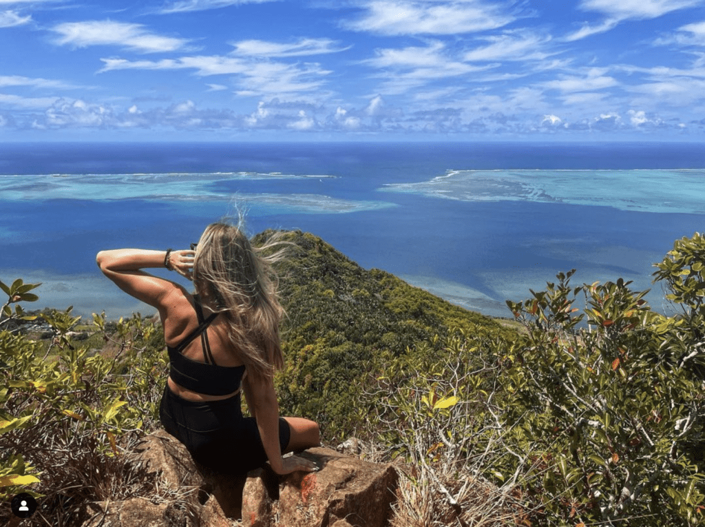

13. Ferney Valley / La vallée de Ferney (East)
- Difficulty level: easy to moderate, depending on the length of the trail
- Time required: There are 3 trails, one of 5km (1h to 1h30), one of 13km (3h30 to 4h) and one of 18km (5 to 6h).
- Elevation gain: 256m / 841 ft
- Highlights : stunning views of the valley, great to spot endemic birds and plants, and out of the beaten track. Facing the bay of Mahebourg and at the foot of the Lion Mountain, it’s home to one of the last endemic forests of the island. It’s one of the best trails we have done in Mauritius!
- Starting point: La Vallée de Ferney. It is a private domain that focuses on ecotourism. It is preferable to book in advance on La Vallée de Ferney official website.
- Entry fee: Rs200 for Mauritians and residents, Rs400 for tourists.
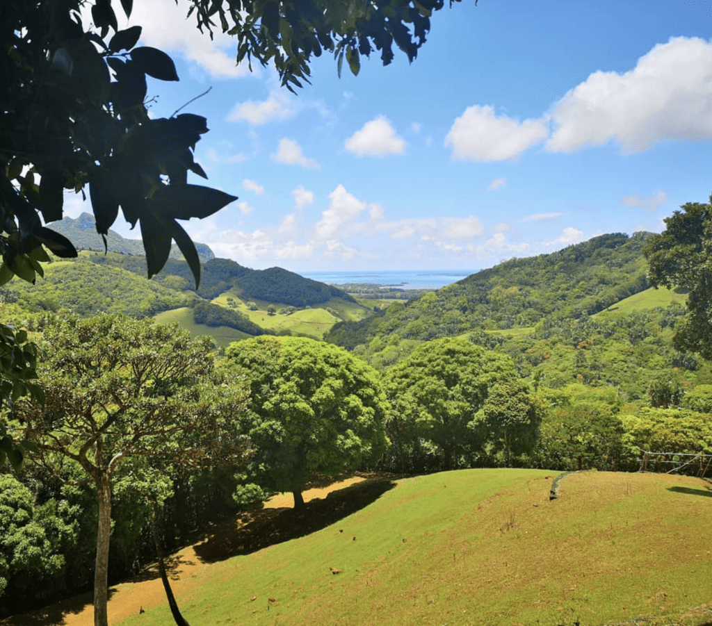

14. Tamarind Falls / 7 Cascades Trail, Black River Gorges National Park (South-West)
- Difficulty level: moderate (short loop) to difficult (long loop): inclined climbing can be a bit overwhelming, it can be muddy and slippery if it has been raining.
- Time required: there is a short loop (2h30 without stopping) and a long loop to see the 7 waterfalls (full day)
- Elevation gain: 359m / 1,076 ft
- Highlights : beautiful views on the famous natural wonder “7 Cascades”, also called Tamarind Falls all along the way. This is one of the most popular excursions on the island and it’s absolutely worth it. You can also enjoy a swim at the large and refreshing pond at the foot of the waterfall.
- Starting point: Tamarind Falls Hiking Trail Start (on Google Maps), in the Henrietta village, near a hindu temple and a solar farm. The trail is not very well indicated. You might loose your way sometimes but you could still manage without a guide.
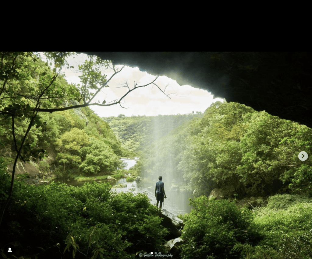

15. Vallée d’Osterlog Trail (South-East)
- Difficulty level: easy
- Time required: 1h
- Elevation gain: 105m / 315 ft
- Highlights : La Vallée D’Osterlog is an Endemic Garden which harbours hidden biodiversity treasures and leads up to Cascade Tortue, named like this because of a huge rock below the waterfall that looks like a giant tortoise shell.
- Starting point: La Vallée d’Osterlog Endemic Garden. For visits, contact the La Vallee D’Osterlog on the following telephone number: (230) 5251 8666.
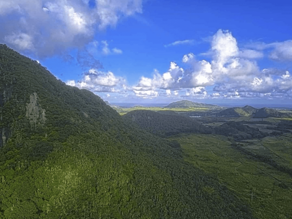

16. Piton Savanne, Black River Gorges National park (South)
- Difficulty level: easy/moderate (easy trail to follow and of good quality apart from the final few minutes near the summit).
- Time required: 2h30 out and back
- Elevation gain: 244m / 733 ft
- Height of the peak: 715m
- Highlights : Incredible views on the South of Mauritius. The summi
- Starting point: Trailhead off Chemin Grenier Road. The trail starts at a big metal gate which is kept closed – make sure to ask the Petrin Information Center if you can do the walk (might be closed off to the public during the hunting season).
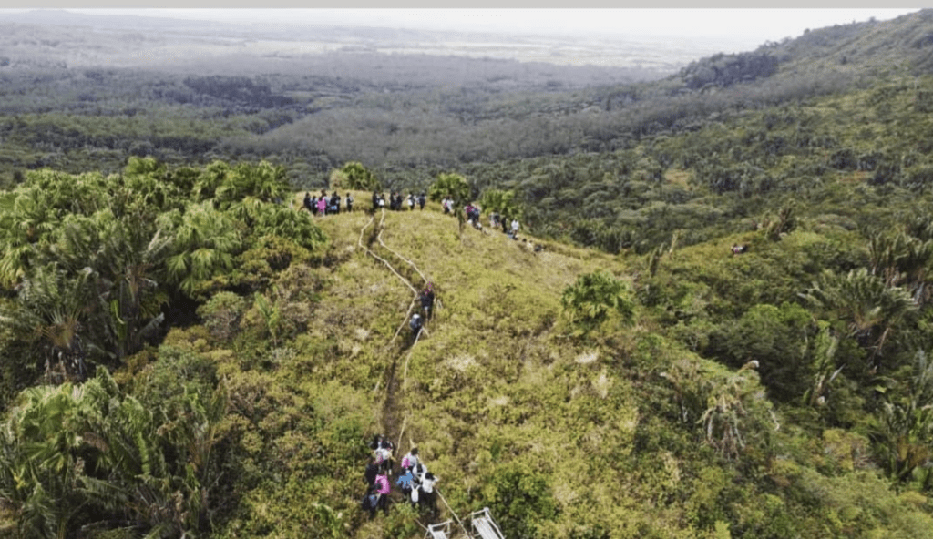

17. Seaside walk from Tamarin to Flic en Flac beach
- Difficulty level: easy (well marked trail). The only difficulty is that you will have to walk in the water to cross the river Rivière du Rempart and access the other side of the beach towards Tamarina Hotel. Depending on the days, this may be more or less shallow.
- Time required: 2h30 out and back, without stopping
- Elevation gain: 30m
- Highlights : A beautiful walk from Tamarin Beach to Flic en Flac Beach to admire the superb landscapes and observe the fauna (flying fox, birds and geckos).
- Starting point: Starts from Tamarin or from Flic en Flac beach.






Recent Comments